
Political
A political map shows the political structure of the world as of the date of publication of the map or globe. States and their borders are usually represented by different colours, and capitals and the states themselves are clearly named.
National Geographic
Regional map the Balkans
$ 28.90
ready for shipping in 24
h
Stiefel
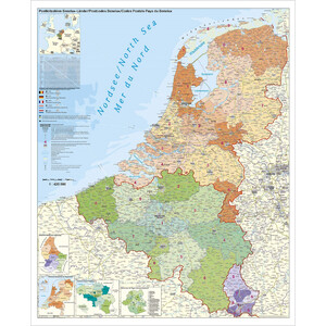
Regional map Benelux mit Postleitzahlen (97x137)
$ 28.90
ready for shipping in 24
h
National Geographic
Regional map Scandinavia
$ 28.90
ready for shipping in 24
h
Stiefel
Regional map Benelux mit Postleitzahlen (97x137)
$ 24.90
ready for shipping in 24
h